Identify the land manager
Confirm who owns the launch point: city, county, state, federal, military, tribal, private, or a separate municipality. The land manager can prohibit takeoff even when the airspace is open.
We use cookies for essential site functions and, with your permission, for analytics and advertising. California residents can opt out of the sale or sharing of personal information at any time. See our Privacy Policy, Cookie Policy, and Do Not Sell or Share My Personal Information.
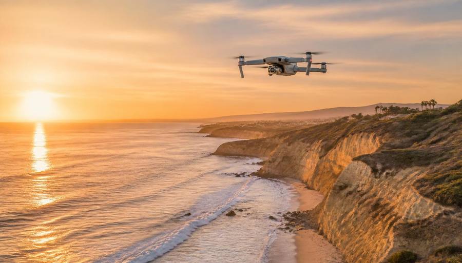
Why most of the coastline is harder than it looks, how airspace authorization works here, and the places a launch is simply illegal.
Last updated
Two separate sets of rules apply to every San Diego flight and you have to clear both. The FAA controls the airspace: recreational pilots need the TRUST certificate, anyone flying for any business purpose — including a real estate listing or a paid wedding video — needs a Part 107 remote pilot certificate, and every drone over 250 grams must be registered and broadcasting Remote ID. San Diego is dense with controlled airspace. San Diego International, Montgomery-Gibbs, Gillespie, Brown Field, Miramar, and North Island all generate controlled zones, and much of the urban core sits under approach paths where the automated LAANC altitude ceiling is very low or zero. Separately, the landowner controls takeoff and landing. The National Park Service bans launching, landing, and operating drones from Cabrillo National Monument entirely. California State Parks prohibits drone operation in most units without a permit, which covers Torrey Pines and the state beaches. The City of San Diego restricts drone use in city parks and on beaches, and Coronado and several North County cities have their own ordinances. Military installations and the areas around them are the hardest no in the county. What is left is real but narrower than people assume: Class G airspace over open areas away from parks and crowds, private property with the owner's permission, and permitted commercial work. Never fly over people or moving traffic, keep it under 400 feet and within visual line of sight, and stay clear of the wildlife closures along the La Jolla coast.
| Location | Status | Why |
|---|---|---|
| Cabrillo National Monument | Prohibited | NPS-wide ban on launching, landing, or operating |
| Torrey Pines State Natural Reserve & state beaches | Prohibited without a State Parks permit | California State Parks drone restrictions |
| City of San Diego parks and beaches | Restricted — permit required | Municipal park rules govern launch and landing |
| Balboa Park | Effectively off-limits | City park rules plus constant crowds and no safe overflight |
| Coronado, Del Mar, Encinitas, Carlsbad | Each has its own ordinance | Check the individual city before you launch |
| Downtown and Little Italy | Very low or zero LAANC ceiling | Directly under San Diego International approach |
| Near Miramar, North Island, and other military airfields | Prohibited | Federal facility restrictions and controlled airspace |
| Petco Park and stadium events | Prohibited during events | FAA temporary flight restrictions around large sporting events |
| Wildfire or emergency scenes | Prohibited | TFRs; a drone grounds firefighting aircraft and is a federal offense |
| Rural East County Class G away from parks | Generally allowed | Uncontrolled airspace, private land with permission |
Rates and availability change daily, so we link the guide rather than quote a price. Each page compares walkable, short-drive and budget options with parking and resort fees called out.
Clear every layer before unpacking the aircraft. A green answer in one app does not override a park, beach, wildlife, or private-property rule.
Confirm who owns the launch point: city, county, state, federal, military, tribal, private, or a separate municipality. The land manager can prohibit takeoff even when the airspace is open.
Look up the exact grid square and current ceiling immediately before flight. A zero-foot ceiling is not an invitation to request a higher recreational limit through the app.
Wildfires, emergency operations, presidential movement, and stadium events can add temporary flight restrictions. Recheck on the day of the flight.
Do not plan an overflight of a crowd, moving cars, a beach gathering, or protected wildlife. Move the shot or cancel it rather than trying to thread a legal exception.
Have your TRUST certificate or Part 107 credentials, registration details, Remote ID setup, and any land-manager or production permit available before launch.
Free, online, takes about twenty minutes, and you must be able to produce it. It is the baseline for flying purely for fun under the recreational exception.
A knowledge test at an FAA testing center. If a client, a listing, an ad, or a paying couple is involved, recreational rules do not cover you no matter how small the job is.
Any drone over 250 grams must be registered with the FAA, marked with the number, and broadcasting Remote ID either natively or with a broadcast module.
In controlled airspace, request authorization through a LAANC provider app before flying. Approvals are often instant, but many San Diego grid squares have a ceiling of zero, which means no automated approval at all.
Check the day of the flight, not the week before. Temporary flight restrictions appear for presidential travel, wildfires, and stadium events with little notice.
The FAA does not authorize you to take off from someone else's property, and it does not override a park ordinance. Legal airspace with an illegal launch site is still a violation.
The cleanest path for real estate and wedding work. Get the owner or venue on record, then check the airspace over that address.
Several agencies will permit drone work as part of a film permit with a Part 107 pilot, a safety plan, and insurance. This is how professional aerials of restricted areas legally happen.
Established club fields in the county exist specifically for this, with known airspace agreements. Membership or a day fee is typically required.
Away from airports, parks, and people there is genuinely open airspace. Watch for state park boundaries, tribal land, and wilderness areas, which have their own rules.
The airspace over the ocean is often workable, but you still need a lawful place to stand — and the beach itself frequently is not it.
Wherever you are permitted to fly, fewer people on the ground means fewer of the over-people restrictions that end most coastal flights before they start.
The ground-level version of the same jurisdiction map.
How to get drone work approved as part of a production.
Where the light is worth the paperwork.
Why drones near a fire are a federal problem.
One of the most-attempted and most-restricted flight spots.
A full federal no-fly area.
If you cannot confirm permission for a flight, choose a ground-level plan. These guides help you plan an outing; none provides airspace authorization or permission to launch a drone.
Pick a subject and a viewpoint you can reach on foot. Check access, closing times, and any photography rules for that location before carrying equipment there.
A passenger sightseeing trip can offer a different view for handheld photography. Compare route, departure point, deck access, and cancellation terms. Do not assume drones or large camera setups are permitted aboard.
Group nearby stops together and compare walking, transit, and driving. Leave time for parking and the return journey rather than trying to fit distant viewpoints into the same sunset.
Not freely. City of San Diego beach and park rules restrict launching and landing, California State Parks prohibits operation in most units without a permit, and Cabrillo National Monument bans drones outright. Add the low LAANC ceilings along the coast under the airport approach and most casual beach flights are not legal. The workable versions are a permit, a private launch point, or a stretch of coast outside those jurisdictions.
Treat the airport approach and surrounding controlled airspace as a no-go until the exact grid says otherwise and you have the required authorization. A LAANC request can show a zero-foot ceiling; that result means you cannot fly under the automated recreational authorization.
Yes. Anything in furtherance of a business — a paid wedding film, a real estate listing, a brand video, even unpaid work used to promote your services — falls outside the recreational exception. You need the Part 107 certificate, a registered Remote ID aircraft, and airspace authorization where applicable.
Use a LAANC-approved app to request authorization for the specific grid square and altitude. Much of central San Diego sits under a zero-foot ceiling because of the airport approach, in which case LAANC will not approve anything and you would need a manual FAA authorization, which takes weeks and is rarely granted for routine work.
Harassing marine mammals is a federal offense under the Marine Mammal Protection Act, and low drone passes that cause animals to flush into the water qualify. Beyond the launch restrictions on the bluffs, this alone makes the seal and sea lion areas a place to keep drones away from entirely.
They range from a warning and being told to land, to municipal citations, to FAA civil penalties that can reach thousands of dollars for airspace violations. Flying into a wildfire TFR is the most serious — it grounds aircraft, and it is prosecuted.
The Sandi Spots Newsletter
New beach finds, hidden taco shops, weekend events, and seasonal guides — once a week from a local. No spam, ever.
One email a week. Unsubscribe anytime.
Published by the Sandi Spots Editorial team at Sleep Coast LLC. Guides combine local perspective and source research. Check the individual guide for firsthand observations and follow official links to confirm current details.