Ramona, Poway, Lakeside
SR-67 south to I-8 is the primary route; SR-78 west toward Escondido is the alternate. Both jam quickly, so leave on warning, not order.
We use cookies for essential site functions and, with your permission, for analytics and advertising. California residents can opt out of the sale or sharing of personal information at any time. See our Privacy Policy, Cookie Policy, and Do Not Sell or Share My Personal Information.
Which alerts matter, what the terms mean, and the routes out of each high-risk corridor.
Last updated
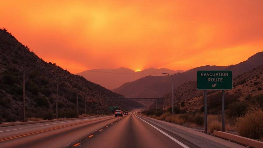
San Diego County issues wildfire evacuations through AlertSanDiego (register your cell and VoIP numbers — landlines are enrolled automatically), Wireless Emergency Alerts to any phone in the affected area, and the SD Emergency app, with live maps at sdcountyemergency.com. An evacuation warning means leave now if you need extra time; an evacuation order means leave immediately. In practice, the main routes out of San Diego's fire-prone corridors are I-15 and SR-78 from inland North County, SR-67 and I-8 from Ramona, Lakeside, and Alpine, SR-94 from the southeastern backcountry, and SR-76 from Fallbrook, Pala, and Valley Center — but any of them can close, so plan two routes in different directions from your home. Santa Ana wind events, typically September through December, are when fires move fastest; on red-flag days, keep your car above half a tank, park facing out, and have your go-bag loaded. Evacuation shelters open through the county and Red Cross, large-animal evacuation goes to sites like the Del Mar Fairgrounds, and most shelters accept pets in carriers or on leash.
| Term / system | What it is | What to do |
|---|---|---|
| AlertSanDiego | County opt-in phone/text/email alerts | Register every cell and VoIP number now |
| Wireless Emergency Alert | Automatic push to phones in the area | Cannot be missed; act on it |
| SD Emergency app | County app with maps and shelters | Install before fire season |
| Evacuation warning | Threat is possible | Leave now if you need time, animals, or help |
| Evacuation order | Threat is immediate | Leave immediately; do not pack more |
| Shelter in place | Safer inside than on the road | Stay in, close windows, monitor alerts |
| Red flag warning | Wind + low humidity + dry fuel | Fuel up, load go-bag, park facing out |
Rates and availability change daily, so we link the guide rather than quote a price. Each page compares walkable, short-drive and budget options with parking and resort fees called out.
Learn two routes out of your neighborhood — one toward the coast, one along a different highway. Fires close roads unpredictably.
SR-67 south to I-8 is the primary route; SR-78 west toward Escondido is the alternate. Both jam quickly, so leave on warning, not order.
I-8 west toward El Cajon is the main artery. When I-8 closes, options are limited — this is a corridor where leaving early matters most.
SR-76 west to I-5 or east to I-15, plus Mission Road. Rural roads narrow fast; know which of your driveways connects through.
I-15 and SR-78 are the backbone. The 2007 Witch Creek fire showed how quickly westbound lanes fill — stagger your departure early.
SR-94 west toward Spring Valley is essentially the only paved corridor. Backcountry residents should plan overnight bags kept in the car during Santa Ana events.
SR-78 and SR-79 in multiple directions. Mountain fires can cut both; monitor which pass is open before choosing a direction.
Landlines are auto-enrolled; cell phones and VoIP are not. Add every family member's number and your work address.
CAL FIRE requires 100 feet of defensible space where applicable — zone 1 within 30 feet cleared of dead fuel, zone 2 thinned and mowed.
Ember-resistant vents, gutter guards, and clearing leaves off the roof and out of gutters prevent the ember ignition that destroys most homes.
A ten-minute video walkthrough of every room and open drawer makes an insurance claim dramatically easier.
Many San Diego backcountry homeowners have been non-renewed. Know whether you're on the California FAIR Plan and what your extended replacement cost is.
Horse owners should pre-arrange trailering. Del Mar Fairgrounds and other sites open for large animals during major fires.
Passports, birth certificates, insurance policies, deed or lease, and a USB or cloud copy of everything.
A week of prescriptions, glasses, chargers for medical devices, and a written list of dosages.
Smoke exposure is the most common health impact for people far from the flames. Keep a box of N95s, not cloth masks.
Card readers fail during outages. Keep small bills, a power bank, and a car charger in the bag.
Carrier, leash, food, vaccination records, and a photo of you with your pet in case you're separated.
One familiar toy or blanket per child. Evacuations are long and shelters are loud.
The people who get trapped are almost always the ones who waited for the order. Traffic is the real danger, not the flame front.
Cross-check the county map, CAL FIRE incident page, and your local scanner or news feed. Social media rumors move faster than facts.
Smoke persists for days. Check AQI, run HVAC on recirculate with a MERV 13 filter, and keep a box-fan filter in a bedroom.
Downed lines, hot spots, and blocked roads make early returns dangerous and slow the crews still working.
Photograph everything before moving debris. Contact your insurer the same day and start a claim log with names and times.
Register at AlertSanDiego for county phone, text, and email notifications, install the SD Emergency app, and keep Wireless Emergency Alerts enabled on your phone. Live maps are posted at sdcountyemergency.com.
A warning means the threat is possible and you should leave now if you need extra time or have animals. An order means leave immediately — do not stop to pack more.
I-15 and SR-78 for inland North County, SR-67 and I-8 for Ramona, Lakeside, and Alpine, SR-76 for Fallbrook and Valley Center, and SR-94 for the southeastern backcountry. Always plan a second route.
Risk is year-round, but the most dangerous window is September through December, when Santa Ana winds combine with the driest fuel of the year.
The county and Red Cross open shelters at schools, community centers, and recreation centers depending on the fire. Locations are posted on the SD Emergency app and county emergency site.
Most county shelters accept pets in carriers or on leash, and county animal services opens co-located animal shelters. Large animals go to designated sites such as the Del Mar Fairgrounds.
Keep your gas tank above half, park facing out, load the go-bag, charge devices, and avoid any activity that throws sparks — mowing dry grass or dragging trailer chains starts fires.
Go-bags, alerts, and earthquake, fire, and outage readiness in one place.
Month-by-month conditions, marine layer, and Santa Ana season.
Setting up service, reading your bill, and solar rules.
Public Safety Power Shutoffs and what to do when the lights go out.
What newcomers should know about fire zones and insurance.
The Sandi Spots Newsletter
New beach finds, hidden taco shops, weekend events, and seasonal guides — once a week from a local. No spam, ever.
One email a week. Unsubscribe anytime.
Published by the Sandi Spots Editorial team at Sleep Coast LLC. Guides combine local perspective and source research. Check the individual guide for firsthand observations and follow official links to confirm current details.